Technology
87 flood-prone spots identified in Chennai Corporation’s Disaster Management Perspective Plan 2025
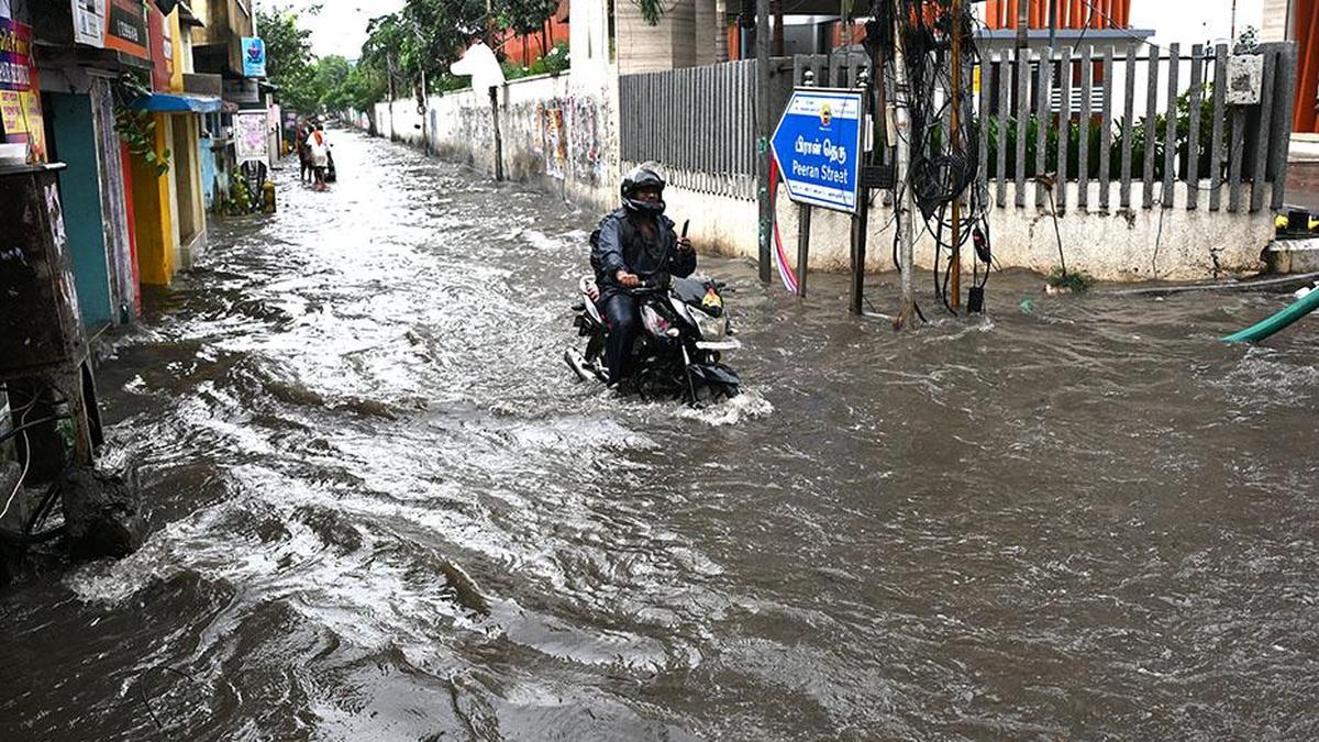
The Greater Chennai Corporation (GCC) has identified 87 locations prone to chronic inundation across the city — based on data from the 2024 monsoon season — in its City Disaster Management Perspective Plan 2025. The report showed 26 high vulnerability and 27 medium vulnerability areas, while 34 locations were categorised as low vulnerability. In 2021, there were 561 such locations, and the number came down to 35 in 2023.
The plan also included measures carried out by the GCC, such as the use of GIS-based mapping to identify flood-prone zones, digital monitoring of stormwater drains, and real-time coordination through the Emergency Operations Centre. It identified areas of high vulnerability to cyclones, tsunami, and other natural disasters based on geographical and demographic data. It detailed the responsibilities of departments in response and relief operations, communication with the public, and rehabilitation support.
The plan also said, along with other service departments, the GCC is involved in the restoration of waterbodies, desilting of canals, and strengthening of pumping stations to improve flood management. It outlined inter-departmental coordination for emergency response, early warning dissemination through the TN-Alert system, and public awareness campaigns.
The control room at the Chennai Corporation was designated as the nodal centre to coordinate relief and ensure quick response during any disaster, the plan mentioned.